We add some geography assessments to our American History curriculum because it is important to understanding the events. We currently are in a project on American Imperialism at the turn of the twentieth century. We ask students to locate places like Hawaii, Guam, and Philippines so that they can see how they were “stepping stones” to China, another place that they need to locate.
We also ask them to find Cuba, Puerto Rico, Columbia, and Panama to see the places of the Spanish American War and to understand the need and placement of a canal to connect the Atlantic and Pacific.
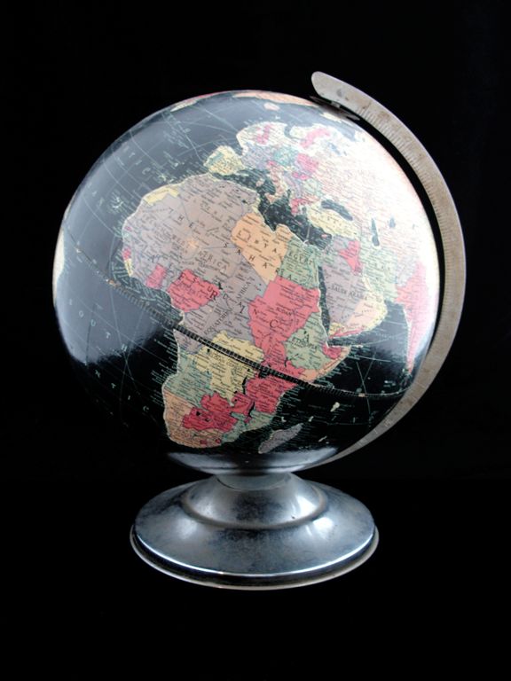
We could just have them label a paper map for the places. Instead we give them the list of places and ask them to find them, study them, and then come show them to us of Google Earth. I find using Google Earth to be valuable because first of all they “drive” and have to find their bearings. Next they get to see relationships better. For example many students are surprised about how far away Hawaii is from the mainland of the U.S. This re-enforces how important it was for trade and military. Google Earth is like using a globe instead of a flat map. I think it just shows the relationships more accurately than flat maps.
The geography also leads to important questions such as why did we care about Guam and Puerto Rico when they are so tiny? Why were we negotiating with Columbia for the Panama Canal Zone? Visually students see why we needed a canal because it was so far around South America.

